OpenAthena App
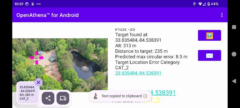
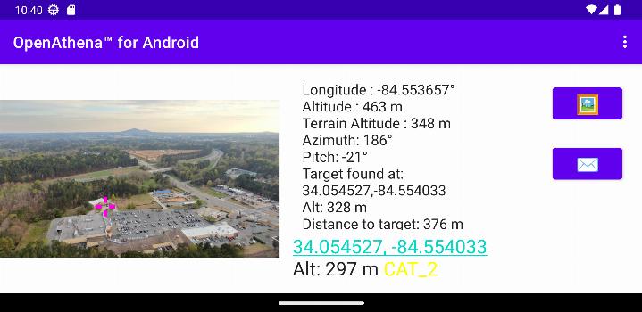
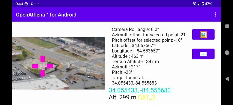
OpenAthena™is a project which allows consumer and professional drones to spot precise locations through their images. This is accomplished by combining their sensor metadata with an offline-ready Digital Elevation Model to provide the instant location of what is being observed.
🖼️👨💻 + 🧮⛰️ = 🎯📍
For instructions on how to obtain a Digital Elevation Model GeoTIFF file needed for OpenAthena, use this link.
What's new in 0.25.0
- Improved target location error estimation using a new formula based on slant range.
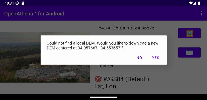
- Enhanced DEM downloads using Copernicus GLO-30 data for better accuracy compared to SRTM.
- Updated app, UI, and submodules for compatibility with Android 15.
- Fixed a crash caused by orientation changes when re-entering the app.
- Improved calculation reliability for cropped images.