OpenAthena アプリ
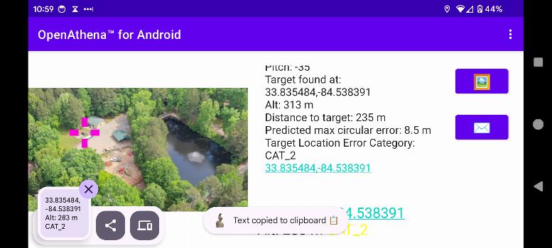
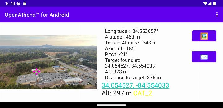
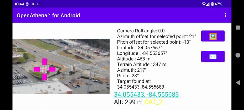
OpenAthena™は、消費者向けおよびプロフェッショナル向けのドローンが画像を通じて正確な位置を特定できるプロジェクトです。これは、センサーのメタデータをオフライン対応のデジタル標高モデルと組み合わせることで、観測されているものの瞬時の位置を提供します。
🖼️👨💻 + 🧮⛰️ = 🎯📍
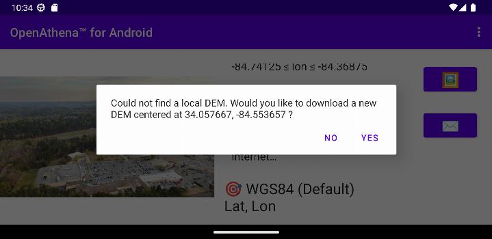
OpenAthenaに必要なデジタル標高モデルのGeoTIFFファイルを取得する方法についての指示は、こちらのリンクを使用してください。
の新着情報 0.25.0
- Improved target location error estimation using a new formula based on slant range.
- Enhanced DEM downloads using Copernicus GLO-30 data for better accuracy compared to SRTM.
- Updated app, UI, and submodules for compatibility with Android 15.
- Fixed a crash caused by orientation changes when re-entering the app.
- Improved calculation reliability for cropped images.