OpenAthena 應用程式
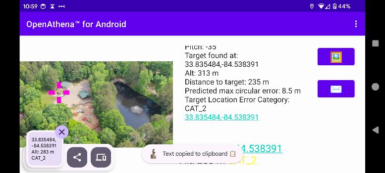
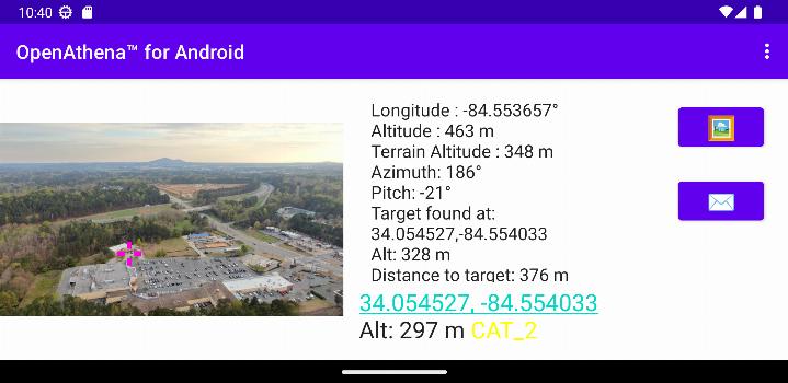
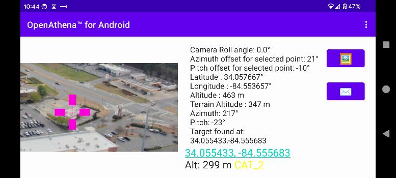
OpenAthena™是一個項目,允許消費者和專業無人機通過其圖像精確定位。這是通過將其傳感器元數據與離線準備的數字高程模型結合來實現的,以提供所觀察物體的即時位置。
🖼️👨💻 + 🧮⛰️ = 🎯📍
有關如何獲取OpenAthena所需的數字高程模型GeoTIFF文件的說明,請使用此鏈接.
更新內容於 0.25.0
- Improved target location error estimation using a new formula based on slant range.
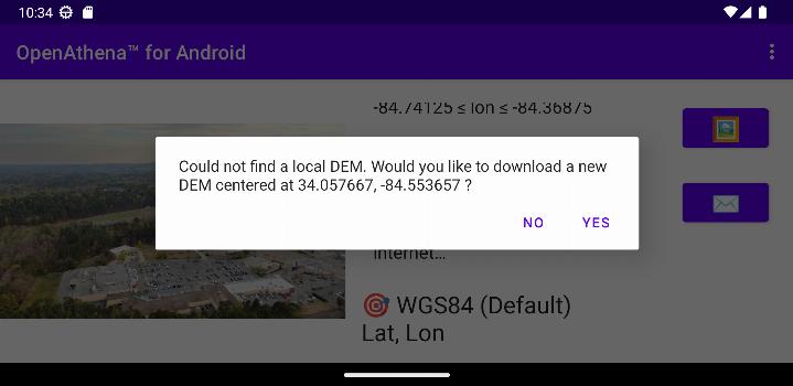
- Enhanced DEM downloads using Copernicus GLO-30 data for better accuracy compared to SRTM.
- Updated app, UI, and submodules for compatibility with Android 15.
- Fixed a crash caused by orientation changes when re-entering the app.
- Improved calculation reliability for cropped images.